Chemin du Roy
A historic route — and a scenic tourist road too!


Between Lanaudière, Mauricie and Québec City!
The Chemin du Roy (King’s Road) was the first carriage road built on land in New France, linking Montréal and Québec City. Constructed between 1706 and 1737, it was a remarkable feat for its time. On the territory of the Maskinongé RCM, however, the route known today as the Chemin du Roy is not the original 1737 path. Due to flooding in the plains of Lake Saint-Pierre, early settlers moved inland, slightly north of the original riverbanks.
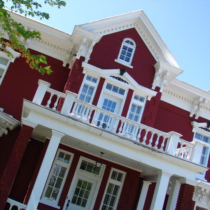
In the eastern part of the RCM, the Chemin du Roy follows Route 138 up to the village of Yamachiche. From there, it veers off toward Louiseville, along a rural road lined with breathtaking agricultural landscapes and historic landmarks, such as the unique row of red-brick houses known as the Enfilade-de-maisons-en-brique-rouge-de-Yamachiche. After crossing the Rivière du Loup bridge in Louiseville and briefly rejoining Route 138, the Chemin du Roy again detours onto scenic backroads. It continues through the village of Maskinongé and then follows the hillside road known as Route du Pied-de-la-Côte toward Saint-Barthélemy. In total, the Chemin du Roy winds through 32.5 km of the Maskinongé RCM.
While its historical importance is undeniable, the Chemin du Roy is also a renowned tourist route that crosses the regions of Lanaudière, Mauricie, and Québec. This scenic road is a perfect way to discover the charm of these areas, dotted with many attractions along the way. Learn more at lecheminduroy.com.
